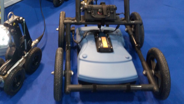
The integrated GPS makes it possible to do the survey at the same time as the tracing, and this is where the analysis becomes finer. Signal processing and signal visualization at the same time, on a high resolution touch screen, allow for better accuracy. All data can be georeferenced in real time on Google Earth. The information can be sent in real time via Wi-Fi or transferred to a USB drive. Screenshots also allow you to add markers to locate areas of interest.
The RD1500 can also be equipped with external GPS and FrequenSee technology for better low, medium or high frequency selection with a single antenna.
PUBLICITÉ


